Geological Organization of Iran: 83 million people exposed to risks, six atlases prepared
The head of the Geology and Mineral Exploration Organization of Iran told ISNA news agency that the entire Iranian population is at risk and that the organization has prepared six atlases in this regard.
According to Alireza Shahidi, these atlases were compiled "in order to create a safe and low-risk society."
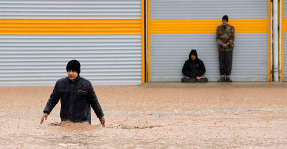
These atlases include "subsidence maps", "unconventional water maps", "dust maps", "flood maps", "tectonic earthquake maps" and "landslide maps".
The maps include 381 subsidence points, maps of the country's flood zones or dust-prone areas covering more than 300,000 square kilometers of Iran's surface.
Alireza Shahidi has emphasized that Iran is located in a belt of natural and climatic hazards.
In addition to being exposed to the dangers of drought and climate change, Iran is one of the world's earthquake-prone regions, and air pollution has repeatedly made headlines there.
At the same time, various criticisms have been made of the performance of responsible institutions, both in the field of preparing structures and citizens against natural hazards, as well as in the field of controversial construction projects and other issues.
The use of water resources, the destruction of forests and pastures, and other similar challenges have also repeatedly raised concerns about the future of habitat and ecosystem in the country.
Source: Radio Farda